Kraj

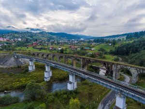
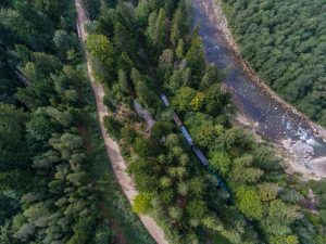
Nominální historický region na západě Ukrajiny, který spojuje Lemkivščynu, Bojkivščynu a Hucuľščynu - oblasti horských etnických skupin Ukrajiny. Tady jsou nejvyšší horské masivy Ukrajiny, také je tu spousta chráněných oblastí, přírodních a krajinných parků, populárních turistických stezek a horských a balneologických rezortů. Právě v Karpatech se uchovala spousta autentických řemesel a výrob. Vyrábí se tu původními recepturami sýr a chléb, tradiční oděvy a hudební nástroje.

příběhů 5
míst 3

Příběhy

Místa

Místa
Tomnatyk. “Pamir” Radar

The remains of the station with a code name "Pamir".

podívat se na video

Tomnatyk. “Pamir” Radar

5 white domes are hiding in Bukovyna Carpathians. They were providing control over air border of the USSR. The remains of the station with code name "Pamir" are still crowning the top of Tomnatyk mountain on the border with Romania.

Share this...
Facebook
Twitter
Kraj
ukrainer-map-large

Verkhniy Yalovets

Místo na Google Mapách

Vorokhta viaduct

Vorokhta viaduct is a bridge built of massive stone blocks at the end of the 19th century. Take a look at its panorama from the bird's eye view.

Share this...
Facebook
Twitter
Kraj
ukrainer-map-large

Vorokhta

Místo na Google Mapách

The Carpathian narrow gauge train

The Carpathian narrow gauge train in Vyhoda is one of four operating lines in Ukraine. The train that transported timber from the mountains for more than 100 years got a name of “Carpathian tram” in 2003 and now transports tourists. Learn more from our story: http://ukrainer.net/karpatskyj-tramvaj

Share this...
Facebook
Twitter
Kraj
ukrainer-map-large

Vyhoda

Místo na Google Mapách

Sleduj Expedici