რეგიონი

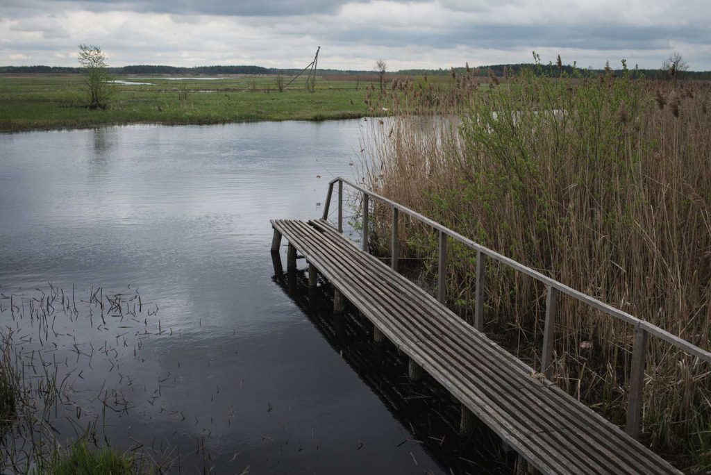
Covered with forests and swamps, the sparsely populated historic region in the southern part of the Pripyat river basin. Due to the natural conditions and the low level of urbanization, the elements of traditional culture and folk crafts are well preserved here. For example, beekeeping or picking wild honey have already made Polissia worldwide famous. Their eco-farms and art farms appear in the place of free spaces and abandoned farms all over Polissia.

ისტორია 1
ადგილები 4

ისტორიები

ადგილები

Prypyat-Stohid

Prypyat-Stohid is a unique nature preserve covered in a web of waterways. That is why one of the two park's water arteries is called Stohid. Learn more about this park from our video!

Share this...
Facebook
Twitter
რეგიონი
ukrainer-map-large

Liubeshiv

Google Maps-ზე წერტილის ნახვა

Shatski lakes

This is the view on Shatski lakes from the bird's eye view. Rightly so a great number of rare birds live here. Take a look at this beauty.

Share this...
Facebook
Twitter
რეგიონი
ukrainer-map-large

Shatski lakes

Google Maps-ზე წერტილის ნახვა

“Duga” Radar

“Duga” is the last still-standing object of the USSR nuclear shield, known in the western mass media as “Russian Woodpecker”. The brightest minds were involved in this project and all data about it is still classified. Why this technological monument is also called “the monument to a failure” check out in our video.

Share this...
Facebook
Twitter
რეგიონი
ukrainer-map-large

Chornobyl

Google Maps-ზე წერტილის ნახვა

The Korostyshiv canyon

The Korostyshiv canyon is an abandoned granite quarry in Polissia, that turned into a deep lake, surrounded by rocks. Pines, fur-trees, and birches grow on top of rocks and create fanciful landscapes.

Share this...
Facebook
Twitter
რეგიონი
ukrainer-map-large

The Korostyshiv canyon

Google Maps-ზე წერტილის ნახვა
Авторка тексту:
Автор тексту:

თვალი ადევნე ექსპედიციას