Kraj

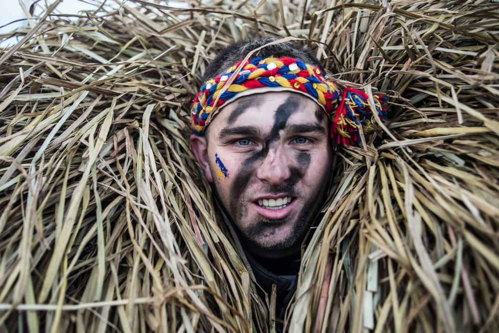
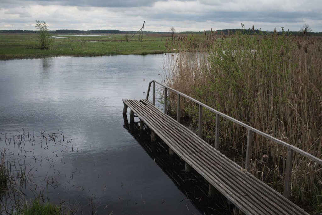
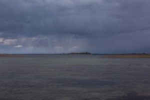
Lesy a bažinami pokrytý, málo obydlený historický region v jižní části povodí řeky Prypjať. Díky přírodním podmínkám a nízkému stupni urbanizace se tu úžasně zachovaly elementy tradiční kultury a národních řemesel. Například brtnictví, aneb sbírání divokého medu, které Polesí proslavilo po celém světě. Na volných prostranstvích a opuštěných statcích vznikají umělecké a ekologické farmy.

příběhů 6
míst 4

Příběhy

Místa

Místa
Prypyat-Stohid

A unique nature preserve covered in a web of waterways.

podívat se na video

Prypyat-Stohid

Prypyat-Stohid is a unique nature preserve covered in a web of waterways. That is why one of the two park's water arteries is called Stohid. Learn more about this park from our video!

Share this...
Facebook
Twitter
Kraj
ukrainer-map-large

Liubeshiv

Místo na Google Mapách

Shatski lakes

This is the view on Shatski lakes from the bird's eye view. Rightly so a great number of rare birds live here. Take a look at this beauty.

Share this...
Facebook
Twitter
Kraj
ukrainer-map-large

Shatski lakes

Místo na Google Mapách

“Duga” Radar

“Duga” is the last still-standing object of the USSR nuclear shield, known in the western mass media as “Russian Woodpecker”. The brightest minds were involved in this project and all data about it is still classified. Why this technological monument is also called “the monument to a failure” check out in our video.

Share this...
Facebook
Twitter
Kraj
ukrainer-map-large

Chornobyl

Místo na Google Mapách

The Korostyshiv canyon

The Korostyshiv canyon is an abandoned granite quarry in Polissia, that turned into a deep lake, surrounded by rocks. Pines, fur-trees, and birches grow on top of rocks and create fanciful landscapes.

Share this...
Facebook
Twitter
Kraj
ukrainer-map-large

The Korostyshiv canyon

Místo na Google Mapách
Авторка тексту:

Alina Ruďa

Anastasija Baklycka

Автор тексту:

Andrij Bočarov

Sleduj Expedici